by Penny Lanham
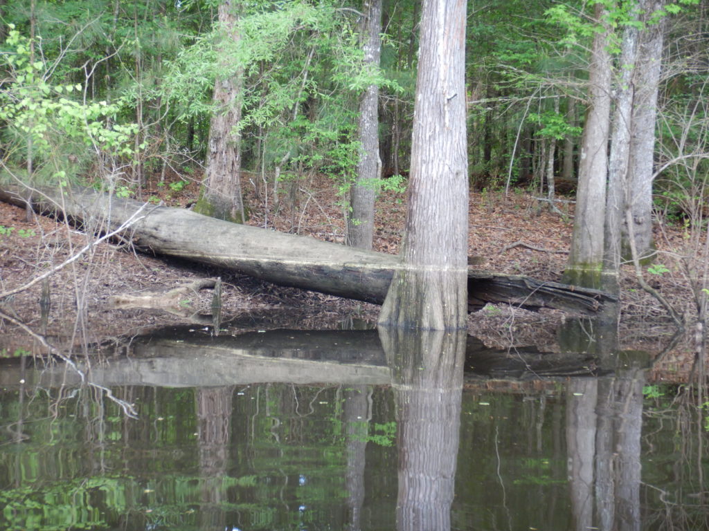
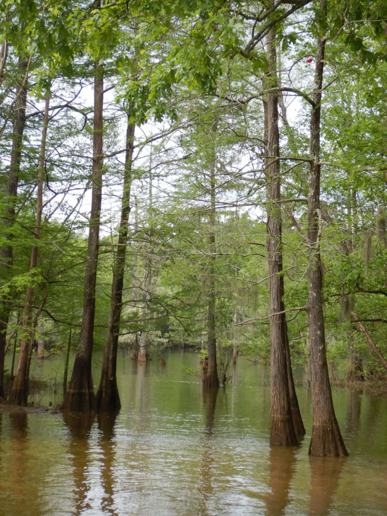
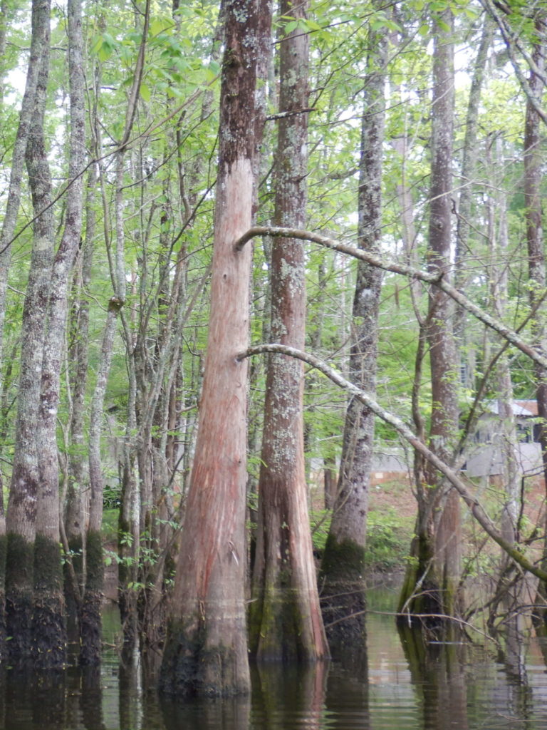
 In the community of Bevilport, there is a boat ramp and a sign next to it that says Angelina Neches / Dam B Wildlife Management Area (WMA). We put in our kayaks with the intention of investigating an area that my husband saw on the Google satellite image just upstream from the boat ramp. Sure enough, upstream and to the right was an opening into a body of calm water and cypress trees. A few anglers in motor boats were fishing in the deeper portion close to the river, but our kayaks were able to take us further. Pine pollen had fallen not long ago. Apparently, the water had been really high during the last two weeks because the pollen line left on the trees was high and obvious. It was nearly level with the top of my head while sitting in my kayak. The heavy spring rains likely contributed to the raised water level, but I should probably note that the water was fairly high even when we were there (early April). This was because the hydroelectric dam was releasing more water from Sam Rayburn Reservoir. The Angelina River rises and moves more rapidly with this increase in discharge. It is likely possible to explore more of the area when the water is up. I think that the furthermost ends of the swamp would be inaccessible in the dry summer months or if the hydroelectric dam was inactive.
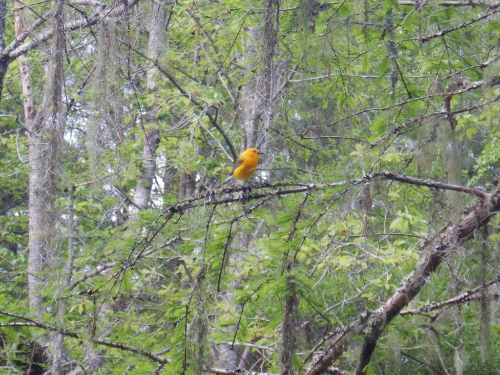
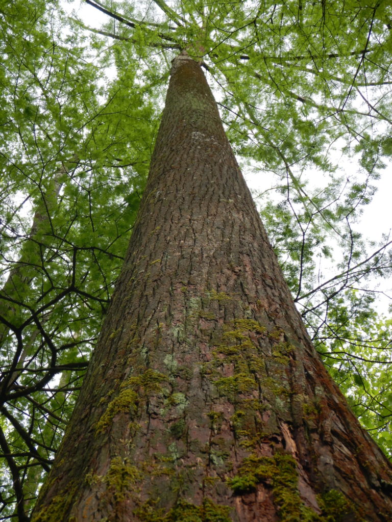
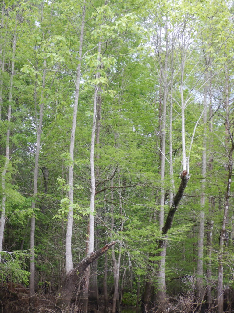
 This is a good expedition for beginning paddlers. It seemed pretty easy to navigate, yet complex enough to be interesting. There are two main branches of the swamp. You can follow them until they seem to end, seem another turn around the corner, and continue deeper into the swamp. When you do reach the end, turn around, and make your way back to the deeper area with the bass boats (generally headed toward the evening sun). We took our time exploring the branches. We took lots of photos. We investigated an old pier, saw some new wood duck nest boxes, found some trot lines, found trees that appeared to have bark stripped off, saw a tiny, talkative, bright yellow songbird, and found a tree species that even my forester husband couldn’t identify. It took us a little over 3 hours to paddle the whole thing, but it could definitely be done in less time. I was thinking that this might make a short enough, yet interesting enough paddle for kids. It could be a great place for a family outing or a Scout troop canoe trip. Just note that there is no bathroom. Go in Jasper before you get to Bevilport or find a gas station near Sam Rayburn. Bring some sandwiches and water to keep you fueled and hydrated. There is a picnic table near the boat ramp. The river flows quickly when the dam is generating electricity, so keep close to the shore or take the convenient short cut between the boat ramp and the cypress swamp to avoid wearing out your arms too early.
I think this spot was more beautiful than the cypress paddling trail at Martin Dies Jr. State Park. It felt more isolated and mysterious. There was no clear paddling trail. We sometimes had to duck under low branches. The birds seemed surprised to see humans, and curiously watched us float past them. After all, it wasn’t marked on the WMA map. We had to look for the signs of the landscape in a satellite image. It’s truly a hidden gem.


