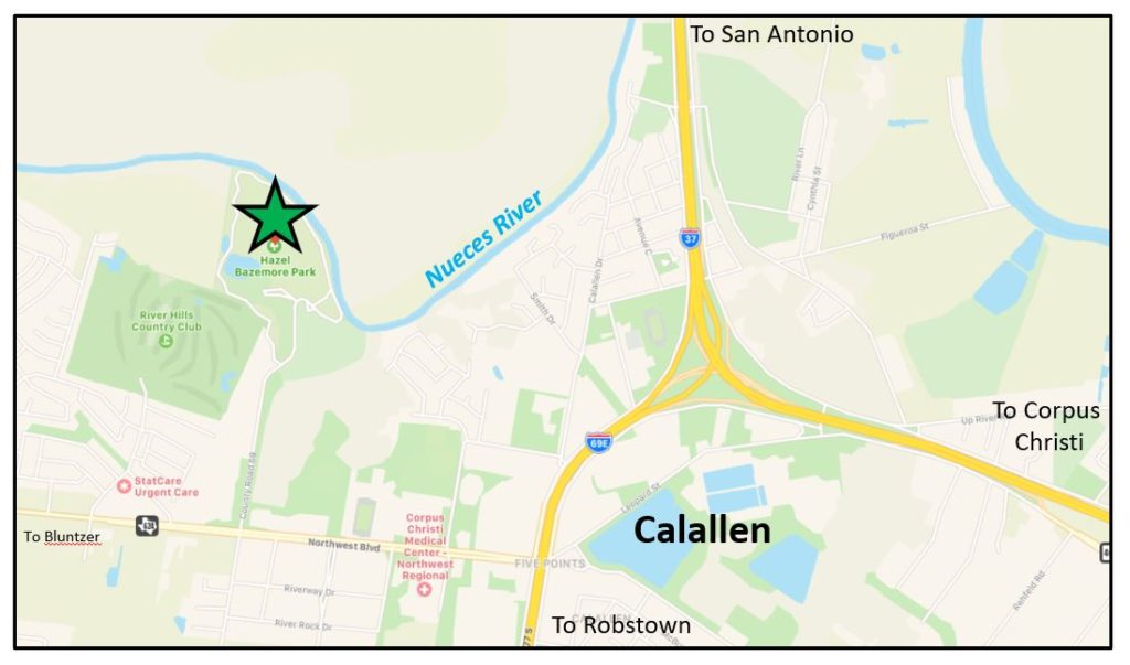
Hazel Bazemore County Park is located just upstream of the “Pinch” of the modern Nueces River Valley where a northward jutting tongue of Pleistocene Beaumont Formation (150,000 years old) clay is opposed by a southward pointed peninsula of younger (70,000? years old) Deweyville Formation river terraces. These opposing landforms are precisely the reasoning for the placement of the long Interstate 37 bridge at this natural and fortuitous narrowing of the Nueces Valley.
Upriver from the Pinch and the river meander at Labonte Park, the Nueces River hugs the south side of the Valley forming a series of high cliffs in the sticky Beaumont clay. The Beaumont is an extremely unstable clay and it is prone to collapse, slumping into the river. This makes for dramatic cliffs and spectacular views across the Nueces Valley looking northward.
The steeper landscape of Hazel Bazemore Park is principally due to the recent (centuries-old) gullies and slump failures of the Beaumont Formation along the old “cut bank” of an outside loop of the Nueces River. The gentle rolling terraced landscape is a combination of blocks of Beaumont that have been periodically and naturally terraced by regular flood stages of the river and river terraces (Deweyville Formation) indicating a complex history of the valley. Just downriver of the Park, one can observe a dramatic cliff and a younger slide upon which an apartment complex was built. One of the buildings has been condemned due to structural movement towards the river channel.
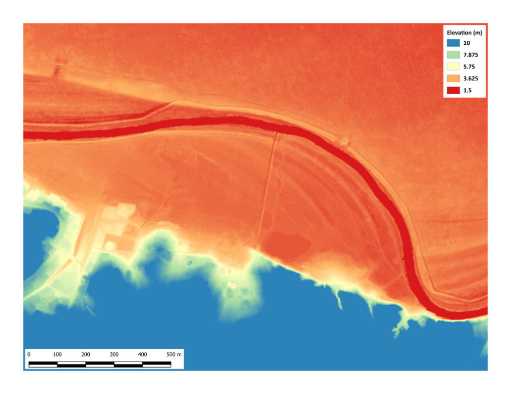
The lowland loop road along the river is built upon a modern “point bar” deposit which occurs on the inside of river loops as the Nueces shifts and meanders across its valley. Point bar deposits tend to be coarser-grained sands topped by mudstones deposited during flood events. On the flood plain, previous positions of the Nueces River are dry channels and scrolling landforms seen on aerial photos. The large pond appears to be manmade. However, the swale it occupies exists in the oldest air photos available. That area did not become water-filled until the 1970s. These types of low sinewy features are common on the outside loops of natural levees and may be previous channel positions.
Five Things to Notice
- The road is very flat entering the park because the Beaumont Formation is a peneplain or nearly flat. This upland is rich farmland, but sometimes poorly drained. Is there any evidence of additional manmade drainage? How might that effect the river and bay?
- The break in slope towards the river is dramatic. Note the vegetation types (size and thickness) on this south side, north facing, edge of the river. Why is it dominantly grass and scrub on the opposing side of the Nueces Valley?
- At the base of the slope, the river loop road is extremely level. You are crossing an old point bar made of sand. What differences in vegetation do you notice in this area?
- The present-day Nueces River flows (most of the time) at an elevation about 1.5 meters below the edge of the loop road on the point bar. The sandy point bar is not actively being constructed by the muddy river. What has impacted the “normal” level of the river?
- Hawk Watch is a major event at Hazel Bazemore Park. What natural and manmade features of this landscape contribute to its attractiveness for raptors during their migration?
Randy Bissell – Texas Master Naturalist & Professional Geoscientist
May 24, 2020 (updated 8/22/2020)